
Neighborhood Map & Descriptions
Department of Development Services
Comprehensive Neighborhood Enhancement Program (CNEP)
Neighborhood Map
For an accessible version of the above map, please click here.
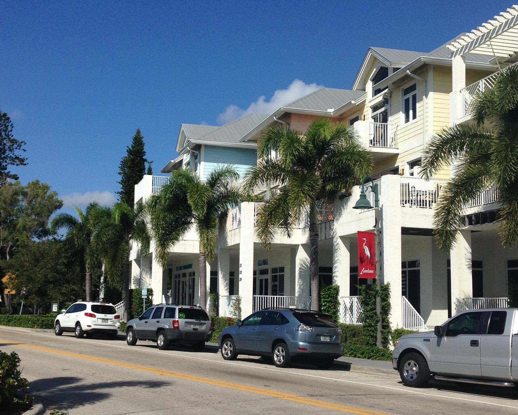
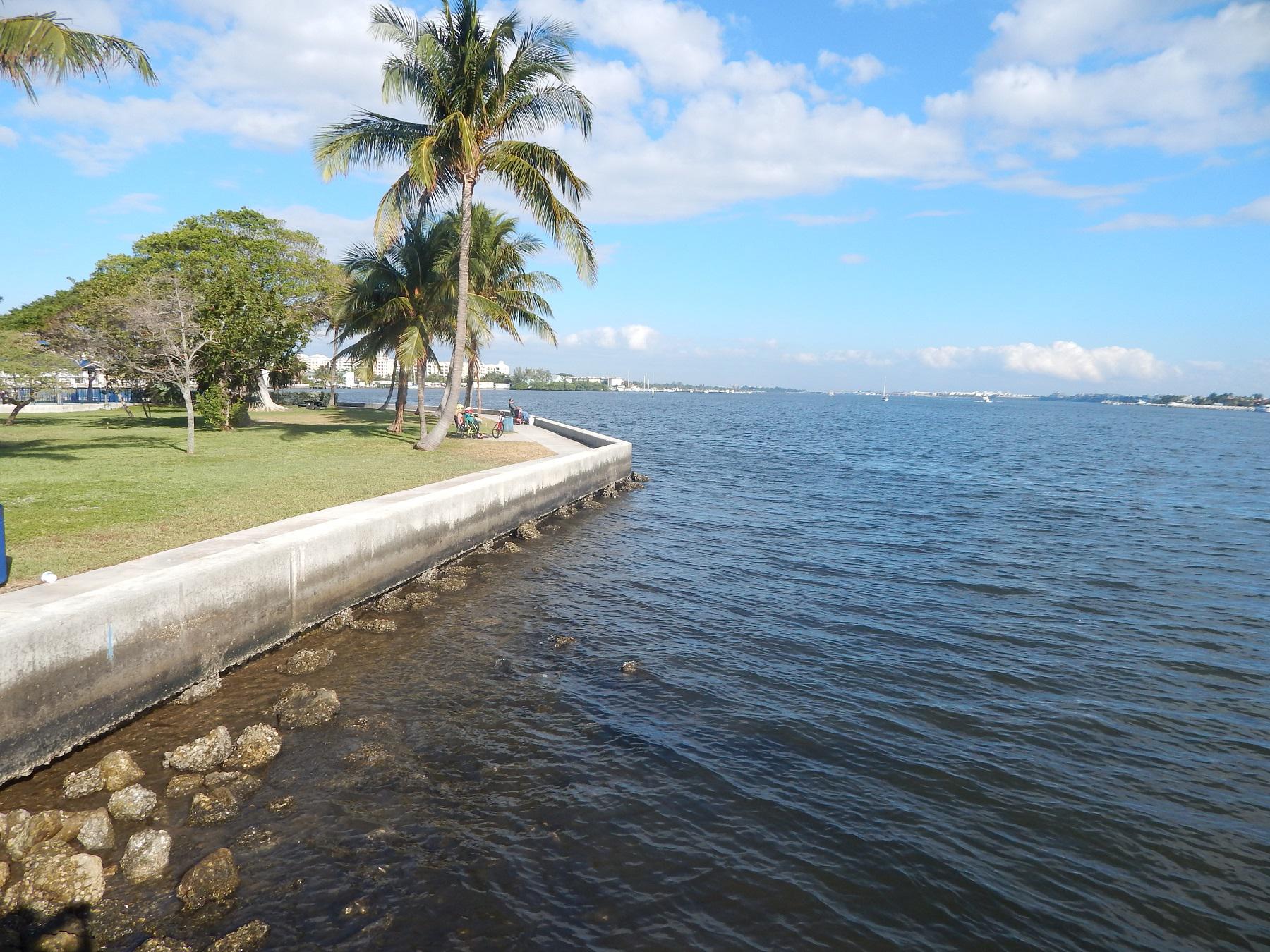
"Lantana Cove"
Lantana Cove (formerly East Central Boulevard) is the neighborhood located to the east of Dixie Highway and the south of Iris Avenue. During previous meetings,staff presented the Neighborhood Goals as: Improve Safety, Increase Property Values & Alleviate Cut-through traffic.
"Lantana Heights"
The Lantana Heights Neighborhood is located to the south of Lantana Road, and is surrounded by Lantana Heights West, Ocean Walk and Ocean Breeze. During previous meetings,the following issues were discussed: Green Ideas, Code Enforcement, the Downtown Master Plan and the former A.G Holley Property.
"East Ocean Ave"
The East Ocean Ave Neighborhood is located to the east of Dixie Highway, and north of Ocean Avenue. During previous meetings, the following issues were discussed: Traffic, Green Ideas, Suspicious Activity, Code Enforcement and the Downtown Master Plan.
"North Broadway "
The North Broadway Neighborhood is located on the northern end of Lantana and west of Dixie Highway, and north of Lantana Road. During previous meetings, the following issues were discussed: Traffic, Green Ideas, Suspicious Activity, Code Enforcement and the Downtown Master Plan.
"Lantana Heights West "
The Lantana Heights West Neighborhood is located on west side of the Town, just east of I-95 and includes the homes located west of 14th Street. During previous meetings, the following issues were discussed: Maddock Park, Code Enforcement, Green Ideas, and the A.G. Holley Property.
"Sea Pines"
The Sea Pines Neighborhood is located on the south side of the Town, and falls between the neighborhoods of Lantana Pines and Lantana Heights West. During previous meetings, the following issues were discussed: Hurricane Preparedness, Water & Energy Conservation, Crime Prevention and the Downtown Master Plan.
"Ocean Breeze"
The Ocean Breeze Neighborhood is located in the center of the Town and is surrounded by the Ocean Walk. During previous meetings, the following issues were discussed: Maddock Park, Water Conservation, the Downtown Master Plan, Green Ideas, Code Enforcement and Hurricane Preparedness.
"Ocean Walk "
The Ocean Walk Neighborhood is located in the center of the Town, between Ocean Avenue and Lantana Road. During previous meetings, the following issues were discussed: Hurricane Preparedness, Suspicious Activity, Traffic, Green Ideas, the Downtown Master Plan and the A.G Holley Property.
"Lantana Pines "
The Ocean Walk Neighborhood is located in the south of the Town, and is north of Hypoluxo Blvd and East of the Sea Pines Neighborhood. During previous meetings, the following issues were discussed: Maddock Park, Traffic, Green Ideas, the Downtown Master Plan and the former A.G Holley Property.
"Southwinds "
The South Winds Neighborhood is located on the north eastern part of town, and is west of the A.G Holley and Sports Complex. During previous meetings, the following issues were discussed: Road closures, Water Conservation, Green Ideas, and the Downtown Master Plan.